
Share
Visual intelligence platform that geolocates images by analyzing pixels without metadata. Highly precise for security and corporate investigations.
What is GeoSpy.ai?
GeoSpy.ai is an advanced visual intelligence platform designed to transform photographs into actionable geospatial information. Unlike traditional geolocation tools, this system does not require EXIF metadata or GPS coordinates embedded in the file; its technology relies exclusively on pixel-level image analysis to determine an exact location.
The tool utilizes state-of-the-art computer vision models to examine critical visual elements such as architecture, vegetation types, terrain features, and signage. This geo-estimation approach allows images with little context to be converted into operational intelligence, facilitating location identification with precision that can reach the meter level.
GeoSpy.ai structures its capabilities into three primary functions based on investigative needs:
- Global Search: Estimates the location of an image anywhere in the world, with a precision range between 1 and 100 kilometers, without requiring any prior geographical input.
- Street Search: Enables street-level localization with pinpoint accuracy when the city is already known or has been specified by the user.
- Property Search: Specializes in identifying the exact location of a specific building or structure from a photograph, optimizing searches in defined urban environments.
This solution is primarily geared toward law enforcement, government organizations, and corporate entities that need to verify visual information quickly. It is a fundamental tool for fugitive apprehension, insurance fraud prevention, journalistic source verification, and asset management.
Platform access is versatile, allowing for use via a desktop browser, through a mobile app, or programmatically via its API. This facilitates the integration of GeoSpy.ai into complex open-source intelligence (OSINT) and digital forensic analysis workflows.
The platform has been trained to process data in real time, allowing analysts to obtain results in seconds. By focusing on visual content rather than hidden file data, GeoSpy.ai positions itself as a robust solution for environments where images have been stripped of metadata or compressed by social networks, ensuring that professionals can act quickly and accurately in critical situations.
GeoSpy.ai features and use cases
How to use GeoSpy.ai
GeoSpy.ai FAQ
What is GeoSpy and what kind of technology does it use?
GeoSpy is a visual intelligence platform that uses advanced AI models to geolocate images by analyzing only their pixel content.
Is metadata required to use GeoSpy.ai?
No, metadata or GPS coordinates are not necessary, as the system identifies locations through visual cues such as buildings, vegetation, or signage.
How accurate are GeoSpy's tools?
The platform ranges from global searches with a margin of a few kilometers to high-precision results that identify specific streets or buildings.
Which sectors is GeoSpy.ai designed for?
While versatile, it is specifically designed for law enforcement, government agencies, open-source intelligence (OSINT) researchers, and corporate security teams.
Does GeoSpy offer a demo or a trial period?
Yes, the platform offers live demos and trial periods for qualified users, subject to prior approval by the company.
How can GeoSpy be integrated into professional workflows?
The tool can be used through a web browser or mobile app, or it can be integrated directly into other systems via its API.
What privacy measures does GeoSpy.ai apply to uploaded data?
The service processes images and associated information solely to provide geolocation, ensuring compliance with its privacy and data protection policies.
GeoSpy.ai pricing and plans
Free Demo
Price: Free
- Access a live demo through the official website to explore the platform's basic functionality.
Free Trial
Price: Free (subject to prior approval)
- Available exclusively to qualified users in law enforcement, government agencies, corporate security, and related sectors.
- Requires review and approval by the team before access is granted.
Enterprise & Law Enforcement
Price: Contact Sales (contact required for licensing and custom quotes)
- Global Search: Image location estimation anywhere in the world within a 1 to 100-kilometer range, with no prior context required.
- Street Search: Precise street-level localization (within a few meters) when the city is known or specified.
- Property Search: Exact identification of specific buildings or structures from an image (requires knowing the city).
- Multi-platform Access: Available via web interface, mobile app, or programmatic API integration.
- State-of-the-art computer vision models with up to meter-level accuracy.
- Exclusive use for internal organizational business purposes or government and investigative functions.
- Image processing based solely on pixels, with no GPS metadata required.
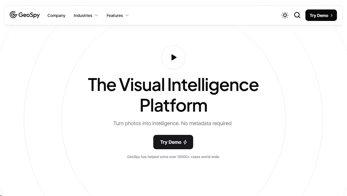
GeoSpy.ai Screenshots
GeoSpy.ai alternatives

ImageToSTL.org
Convert JPG and PNG images into STL files for 3D printing using AI. Generate detailed 3D models ready for instant download.



image2slides
Convert screenshots and photos into editable PowerPoint slides. Extract text and graphics to modify and export them in PPTX format.

The Face Analysis
Analyze facial symmetry, proportions, and features with AI. Works privately in-browser with no uploads or registration to identify eye and nose shapes.