

Share
AI-powered satellite intelligence platform for investors. Analyze ports, data centers, and industrial assets to verify rumors and anticipate market movements.
What is Aureum?
Aureum is an AI-powered satellite intelligence platform designed to democratize access to complex geospatial data, empowering individual investors and analysts to make informed decisions about the physical economy. This tool specializes in monitoring critical infrastructure—such as ports, data centers, mines, and industrial facilities—through automated orbital imagery analysis. Its primary function is to transform visual captures into actionable insights and clear metrics, providing a competitive edge by detecting market movements before they appear in traditional media.
Aureum’s operations are powered by an artificial intelligence engine that processes and fuses data from various sources. It utilizes optical satellite imagery and radar (SAR) technology, which enables the observation of ground activity through cloud cover and in total darkness. This capability is combined with ship transponder signals (AIS) and sector-specific data to offer a comprehensive view of the global supply chain. The AI handles the heavy technical lifting—such as vessel counting or measuring raw material volumes—delivering interpreted results to the user rather than raw image files.
The platform organizes its capabilities into two primary operational functions:
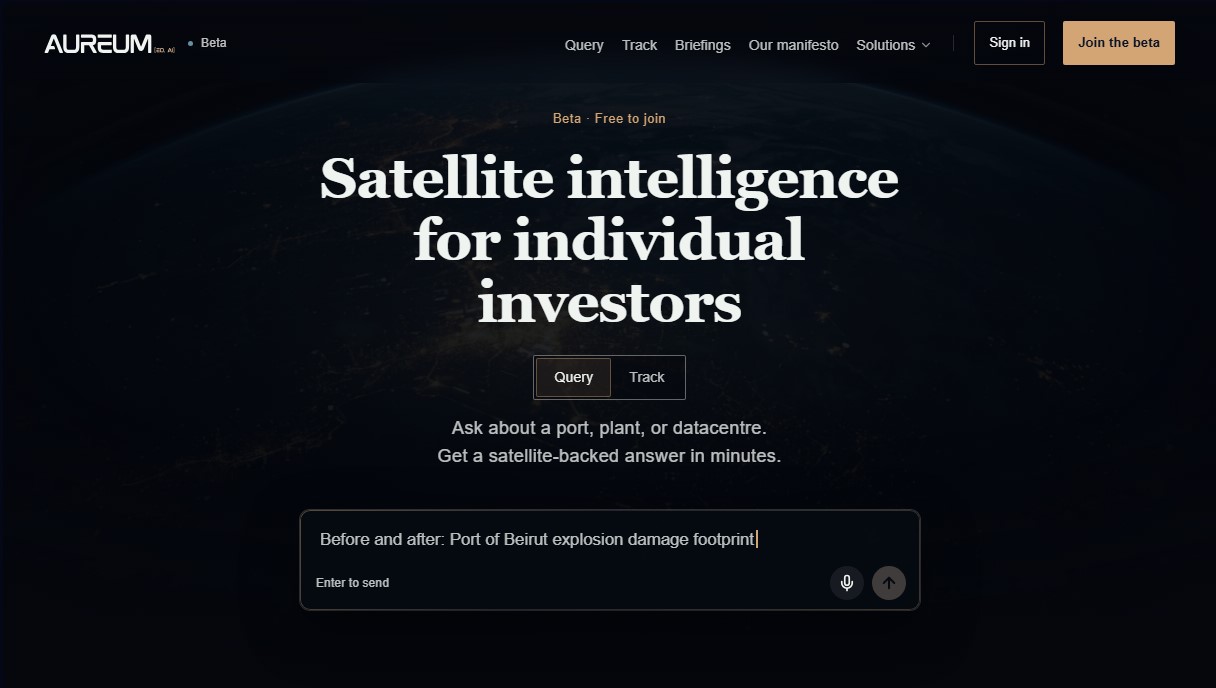
- Query: An advanced search system where users can perform direct inquiries about a specific location or event. The tool generates responses written in plain language, backed by up-to-date satellite evidence, facilitating rumor verification and asset due diligence in minutes.
- Track: Dynamic tracking dashboards that continuously monitor strategic points, such as trade corridors, inventory levels in mineral warehouses, or the construction progress of AI data centers.
Aureum is particularly useful for commodity analysts, day traders, and professionals who require alternative data to validate their investment theses. It allows for precise tracking of port congestion, oil tanker flows, and industrial plant activity directly from a computer. By providing objective measurements of physical activity—such as the movement of goods or the expansion of tech campuses—users can anticipate price fluctuations resulting from logistical disruptions or production shifts.
This solution eliminates the need to manage multiple outdated mapping tools or unverified social media threads. By centralizing geospatial intelligence, Aureum gives individual investors access to a level of analysis previously reserved for large institutional funds, optimizing market research through the direct and simplified use of cutting-edge satellite technology.
Aureum features and use cases
How to use Aureum
Aureum FAQ
What is Aureum and what is it used for?
Aureum is a satellite intelligence platform for retail investors that analyzes ports, ships, and data centers from space to provide clear insights into real-world economic activity.
Who is Aureum designed for?
It is designed for individual investors, traders, and analysts working in commodities, energy, or logistics who need to verify on-the-ground data before it hits the headlines.
How much does it cost to use Aureum?
Access is free during the beta phase. After the official launch, a free plan will remain available alongside affordable paid subscription tiers for individual investors.
Where does Aureum get the information it shows to users?
The platform combines optical satellite imagery, radar technology capable of seeing through clouds, ship transponder signals, and industry-specific data.
How often is the data updated on Aureum?
Data freshness varies by tracker, with daily updates for ship signals and reviews every few days or weeks for satellite imagery, depending on the region.
Do I need technical knowledge of satellites to use Aureum?
No prior experience is necessary. The tool handles the processing of complex imagery and delivers results in plain language with easy-to-understand charts.
How is Aureum different from traditional financial news?
Unlike traditional media outlets, this tool allows you to directly measure physical activity—such as vessel counts or inventory levels—before they become public news.
How can I join the Aureum beta?
Anyone can sign up for free without an invitation. Simply use the registration button on the official website to start testing the features.
Aureum pricing and plans
Beta / Free Plan
Price: 0 € (Free during the beta phase; a free tier will remain available after the official launch).
Access to satellite intelligence for individual investors.
"Query" Feature: Ask questions about ports, industrial plants, or data centers and receive analyzed responses in natural language.
"Track" Feature: Tracking dashboards to monitor corridors, ports, inventory levels, and data centers in a single view.
Utilization of radar technology for vessel counting through clouds and darkness.
Fact-check rumors and analyze assets before they hit the headlines.
Real-time data powered by a combination of satellites, ship transponders (AIS), and industry reports.
Paid Plans
Price: See official website (affordable pricing tiers for individual investors will be introduced after the beta phase).
Access to alternative data tools typically reserved for institutional investors.
Advanced analysis of high-frequency optical and radar imagery.
Physical economy monitoring capabilities (commodities, shipping, and energy) with greater depth than the free plan.
Aureum Screenshots
Aureum alternatives

Confident AI
LLM evaluation platform to test AI workflows, measure quality metrics, and automate testing in the development cycle without relying on engineering.




AutoDock Vina
Automated molecular docking web server. Analyze protein-ligand binding without installing software, featuring affinity reports and 3D pose downloads.